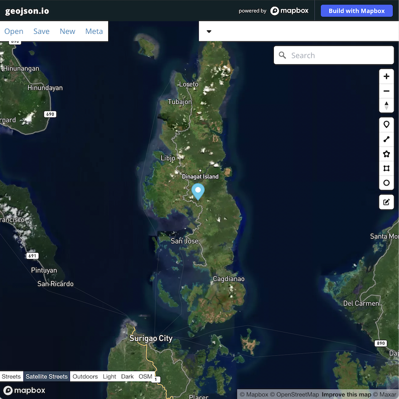
I'd like to add customisable maps to cases. I think GeoJSON based maps are suitable for this purpose.
For example : I have a case that needs to be described with a picture on where the case actually is located.

There are two options:
1 - create custom field type, and include a GeoJSON editor.
2 - use 3rd party editor and provide an option to edit/create GeoJSON by adding a "edit data in editor"
First option creates a lot of (maintainable) dependencies, install issues etc.
Second option is easier to implement ( I think ) and since the content is just plain txt we would not need to do a lot of adaptations.
I think the option for textfields to define/allow external editors might be an option.
geojson.io has a URL api, which would allow for passing content from restricted records to the editor.
Anyone interested in discussing this further?
For example : I have a case that needs to be described with a picture on where the case actually is located.
There are two options:
1 - create custom field type, and include a GeoJSON editor.
2 - use 3rd party editor and provide an option to edit/create GeoJSON by adding a "edit data in editor"
First option creates a lot of (maintainable) dependencies, install issues etc.
Second option is easier to implement ( I think ) and since the content is just plain txt we would not need to do a lot of adaptations.
I think the option for textfields to define/allow external editors might be an option.
geojson.io has a URL api, which would allow for passing content from restricted records to the editor.
Anyone interested in discussing this further?


Comment